The Flood Control Planning Division has an aerial photo room that houses an extensive collection of aerial photos of the San Bernardino County Valley, Desert and Mountain Areas. These aerial photos provides geographical history and shows topographical changes within the County starting from the dates of 1938 to 2010. Most aerial photos are flown by the assistance from the USGS (United States Geological Services), USFS (United States Forest Services) and contracted aerial vendors by the County.
The aerial room is available to the public on an appointment basis for research and locate properties all over the County. However, during the pandemic visitor restrictions were put in place thus the County aims to streamline the aerial photo services in a more convenient tool for public use.
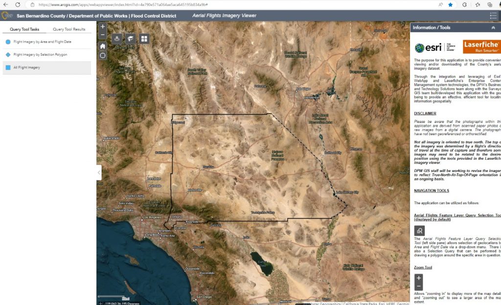
The purpose for this application is to provide convenient viewing and/or downloading of the County’s aerial imagery dataset.
Through the integration and leveraging of Esri’s WebApp and Laserfiche’s Enterprise Content Management system technologies, the DPW’s Business and Technology Solutions team along with the Surveyor GIS and Flood Control Planning team built/developed this application with the goal being to provide an effective, efficient tool for locating information geospatially.